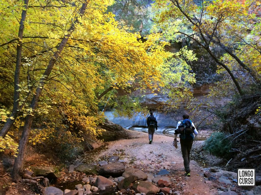
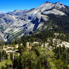
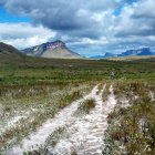
In early October 2016 I visited Zion Nation Park for the very first time, with two of mine best backpacking buddies. Now it's been almost 3 years since that trip. In the meantime I've done several others amazing backpacking trips. The trip to Zion is still one of the most remarkable, though. The park is located in the southwest Utah, near the Arizona border. A region of arid landscapes, known for its majestic canyons and rock formations of unique colors, where several shades of red and white create breathtaking contrasts. In summer, temperatures can reach 114ºF, whereas in winter, can drop to -2ºF! The wide temperature range, along with scarce water sources, risk of unpredictable thunderstorms and flash floods inside the slot canyons, make backpacking trips in the area especially challenging.

Covering 229 square miles, Zion might be considered a small park, when in comparison with the classics Yellowstone and Yosemite. However, when we look at its visitors statistics, it matches those giants. Since 2013 the interest in Zion started growing fast. In 2017 (with 4.5 million visitors) and in 2018 (with 4.3 million visitors), it overcame both Yellowstone and Yosemite. And there is no lack of reasons for visiting Zion. The park has more than 86 miles of backcountry trails crossing stunning landscapes. Several slot canyons, perfect for canyoneering, desert landscapes that resemble extra terrestrial surfaces and valleys crossed by creeks that, eventually, create green ponds, and allow the vegetation and wildlife to thrive in contrast to its inhospitable surroundings. Finally, Las Vegas is only two and a half hour drive away, making the access to the park pretty convenient.

Photo by: Alexandre Ciancio
Our trip was nine days long. During this relatively short period, we had the pleasure of hiking the most popular trails in the park. That was a tough endeavor, physically and logistically, though. In a desert environment such that, the water sources are limited, naturally. We had to transport water for cooking at night and to continue the hike in the next day. Moreover, in order to complete the whole itinerary, we had to finish the trails keeping an eye on the clock. After finishing each hike, we needed to get back to the developed area of the park to obtain the permit for the backpacking trip in the next day, and to set all the equipment up to the next journey. Actually, the challenges of this trip started yet in the planning stage. We had to anticipate a bunch of details, as well as rely on plenty of luck to get all the highly prized backcountry permits. All these efforts were well rewarded by the amazing experiences we lived there and by all the learning we got from the challenges overcome.
Published: Apr 28, 2020


